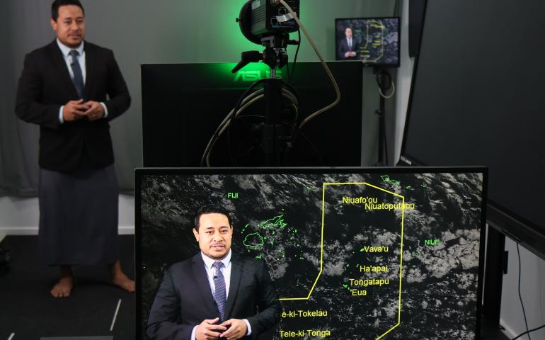
Pacific RCC ENSO Tracker
The Pacific RCC ENSO tracker product gathers and summarizes the status of ENSO according to different global institutions. The methodology behind the classifications is found below.

What is the NINO3.4 Index? The NINO3.4 Index refers to sea surface temperatures reported as a difference from average in a region in the equatorial Pacific (5N-5S, 170W-120W). Sustained positive values of higher than at least 0.7˚C correspond to El Niño while sustained negative values of less than 0.7˚C correspond to La Niña. These thresholds vary by organisation.
What is the Southern Oscillation Index (SOI)? The SOI measures the difference in air pressure between Tahiti, in the South Pacific, and Darwin, in the north of Australia. In its positive phase, pressures tend to be lower than normal in Darwin and higher than normal in Tahiti. Sustained values of 1 or greater correspond to La Niña. In the SOI’s negative phase, pressures tend to be higher than normal in Darwin and lower than normal in Tahiti. Sustained values of -1 or less correspond to El Niño. Here, the SOI is calculated using the Troup Method (Australian Bureau of Meteorology value divided by 10).
ENSO criteria
National Institute of Water and Atmospheric Research (NIWA): An El Niño (La Niña) Watch is issued when the climate system is deemed to be headed in the El Niño (La Niña) direction by way of building anomalous warmth (coolness) in the equatorial Pacific Ocean surface or sub-surface, a reduction (increase) in trade winds across the basin, and an expectation for these conditions to continue for at least several months.
An El Niño (La Niña) Alert is issued when the climate system is deemed to be approaching El Niño (La Niña) thresholds such as anomalous warmth (coolness) in the NINO3.4 region of at least +0.5˚C (-0.5˚C), consistently reduced (increased) trade winds across the basin such as westerly (easterly) wind burst events, a NIWA SOI value lower (higher) than -0.5 (0.5), a response in the atmosphere, such as a shift in convective patterns, consistent with a developing El Niño (La Niña), and an expectation for these conditions to continue for at least several months. Typically, NIWA will classify an alert when a majority of these conditions have been observed for at least three months consecutively, but every case is subject to an expert analysis by NIWA's climate scientists.
El Niño (La Niña) conditions are said to be occurring when a majority of the following are satisfied:
- Sea surface temperature: Temperatures in the NINO3.4 region of the Pacific Ocean are at least 0.7˚C above (below) average.
- Southern Oscillation Index (SOI): The three-month average NIWA SOI is -1.0 (1.0) or lower (Troup method).
- Trade winds: in the equatorial Pacific, there have been a series of westerly (easterly) wind burst events or weaker (stronger) than normal trades have persisted for several months AND forecast guidance indicates that weaker (stronger) than normal trade winds will continue for several months.
- Convective patterns: over the past three months, if a notable shift in the Walker Circulation has been observed (e.g. enhanced (suppressed) rainfall and convection near the warm pool of water in the Pacific), this is considered as a potential coupling of the ocean-atmosphere system supportive of El Niño (La Niña) conditions.
- Forecast guidance: NIWA surveys around 10 dynamical models and 5 statistical models each month. Anomalies above 0.7˚C (below -0.7˚C) should be forecast to continue in the NINO3.4 region for at least several months.
- New Zealand: consider if New Zealand’s climate patterns are consistent with El Niño (La Niña).
APEC Climate Center (APCC):
El Niño (La Niña) Watch is issued when conditions are favourable for the development of El Niño (La Niña) within the next three to four months with a chance greater than or equal to 50%. One of the following criteria needs to be satisfied:
-
observed NINO3.4 Index is equal to or greater (less) than 0.5˚C (-0.5˚C) in the latest month AND the Oceanic Niño Index (ONI - three month rolling NINO3.4 Index) is equal to or greater (less) than 0.5˚C (-0.5˚C)
-
APCC MME predicts NINO3.4 Index persists equal to or greater (less) than 0.5˚C (-0.5˚C) for two months out of the next four OR the chance of El Niño (La Niña) development is greater than or equal to 50% for the next three months
El Niño (La Niña) Alert is issued when conditions are favorable for the development of El Niño (La Niña) within the next three to four months with a chance greater than or equal to 60%. All of the following criteria need to be satisfied:
-
observed NINO3.4 Index is equal to or greater (less) than 0.5˚C (-0.5˚C) over the last two months AND ONI is equal to or greater (less) than 0.5˚C (-0.5˚C) for the last month
-
APCC MME predicts ONI persists equal to or greater (less) than 0.5˚C (-0.5˚C) for the next two months AND the chance for El Niño (La Niña) development is greater than or equal to 60% for the next three months
El Niño (La Niña) is issued when El Niño (La Niña) is nearly developed and expected to persist for the next three months. All of the following criteria need to be satisfied:
-
observed NINO3.4 Index is equal to or greater (less) than 0.5˚C (-0.5˚C) for the last two months AND ONI is equal to or greater (less) than 0.5˚C (-0.5˚C) for the last month
-
APCC MME predicts ONI persists equal to or greater (less) than 0.5˚C (-0.5˚C) for the next three months
Bureau of Meteorology (BoM): An El Niño (La Niña) Watch is issued when the current climate state is neutral or declining La Niña (El Niño), the SOI analogue threshold is met or significant sub-surface warming (cooling) has been observed in western or central equatorial Pacific, and one-third or more of surveyed climate models show sustained warming (cooling) to at least 0.8˚C (-0.8˚C) in the NINO3 or NINO3.4 regions of the Pacific by late winter or spring.
An El Niño (La Niña) Alert is issued when a clear warming (cooling) trend has been observed in the NINO3 or NINO3.4 regions of the Pacific during the past three to six months, trade winds have been weaker (stronger) than average in the western or central equatorial Pacific Ocean during two of the last three months, the two-month average SOI is -7 (7) or lower (higher), and a majority of surveyed climate models show sustained warming (cooling) to at least 0.8˚C (-0.8˚C) in the NINO3 or NINO3.4 regions by late winter or spring.
El Niño (La Niña) conditions are said to be occurring when sea surface temperatures in the NINO3 or NINO3.4 regions of the Pacific are 0.8˚C (-0.8˚C) warmer (cooler) than average, trade winds have been weaker (stronger) than average in the western or central equatorial Pacific during any three of the last four months, the three-month SOI is -7 (7) or lower (higher), and a majority of surveyed climate models show sustained warming (cooling) to at least 0.8˚C (-0.8˚C) above (below) average in the NINO3 or NINO3.4 regions of the Pacific until the end of the year. Source.
National Oceanic and Atmospheric Administration (NOAA): El Niño (La Niña) conditions exist when a one-month positive (negative) sea surface temperature anomaly of 0.5˚C (-0.5˚C) or greater is observed in the NINO3.4 region of the equatorial Pacific Ocean, an expectation that the 3-month Oceanic Niño Index threshold will be met, and an atmospheric response typically associated with El Niño (La Niña) is observed over the equatorial Pacific Ocean. An El Niño or La Niña Watch is issued when conditions are favourable for the development of El Niña or La Niña conditions within the next six months while an El Niño or La Niña Advisory is issued when El Niño or La Niña conditions are observed and expected to continue. Source.