Climate and Ocean Support Program for the Pacific (COSPPac)
[row][col lg_col="12" md_col="12" sm_col="12"][button class="main_button large_btn bottom_space color1" link="/products-and-services/climate-bulletin"]1.COSPPac Climate Bulletin[/button][/col][/row]
The Bulletin delivers climate and ocean monitoring and prediction data relevant to the tropical southwest Pacific, including diagnostics of El Niño Southern Oscillation, the Madden–Julian Oscillation, ocean temperature, cloud and rainfall patterns; as well as tropical cyclone information and seasonal outlooks.
[row][col lg_col="12" md_col="12" sm_col="12"][button class="main_button large_btn bottom_space color1" link="/products-and-services/traditional-knowledge"]2.COSPPac Traditional Knowledge[/button][/col][/row]
For hundreds of years Pacific communities have survived and prospered using weather and climate predictions based on the behaviour of plants and animals, temperature and rainfall, and astronomical indicators such as stars and the sun.
[row][col lg_col="12" md_col="12" sm_col="12"][button class="main_button large_btn bottom_space color1" link="/products-and-services/online-climate-outlook-forum"]3.Online Climate Outlook Forum[/button][/col][/row]
The Online Climate Outlook Forum (OCOF) provides a regular opportunity for Pacific Island Meteorological Services to discuss the status of the El Niño Southern Oscillation and to share their seasonal climate outlooks.
[row][col lg_col="12" md_col="12" sm_col="12"][button class="main_button large_btn bottom_space color1" link="/products-and-services/seasonal-climate-outlooks-pacific-island-countries-scopic"]4.SCOPIC[/button][/col][/row]
Seasonal Climate Outlooks in Pacific Island Countries (SCOPIC) is a decision support tool which generates seasonal outlooks for rainfall, temperature, or other climate-related factors.
SCOPIC was developed to provide Pacific Island nations with an accessible, stand-alone seasonal climate prediction system.
The software uses a statistical method to determine forecast probabilities, based on historic data.
The software also provides graphics and texts to support the outlooks, including skill tests, hindcasts, data-browsing, statistical analyses, scatter plots, and drought monitoring.
The software is used by eleven National Meteorological Services in Pacific Island countries.
Climate Information Services for Resilient Development Planning in Vanuatu (VanKIRAP) FP035
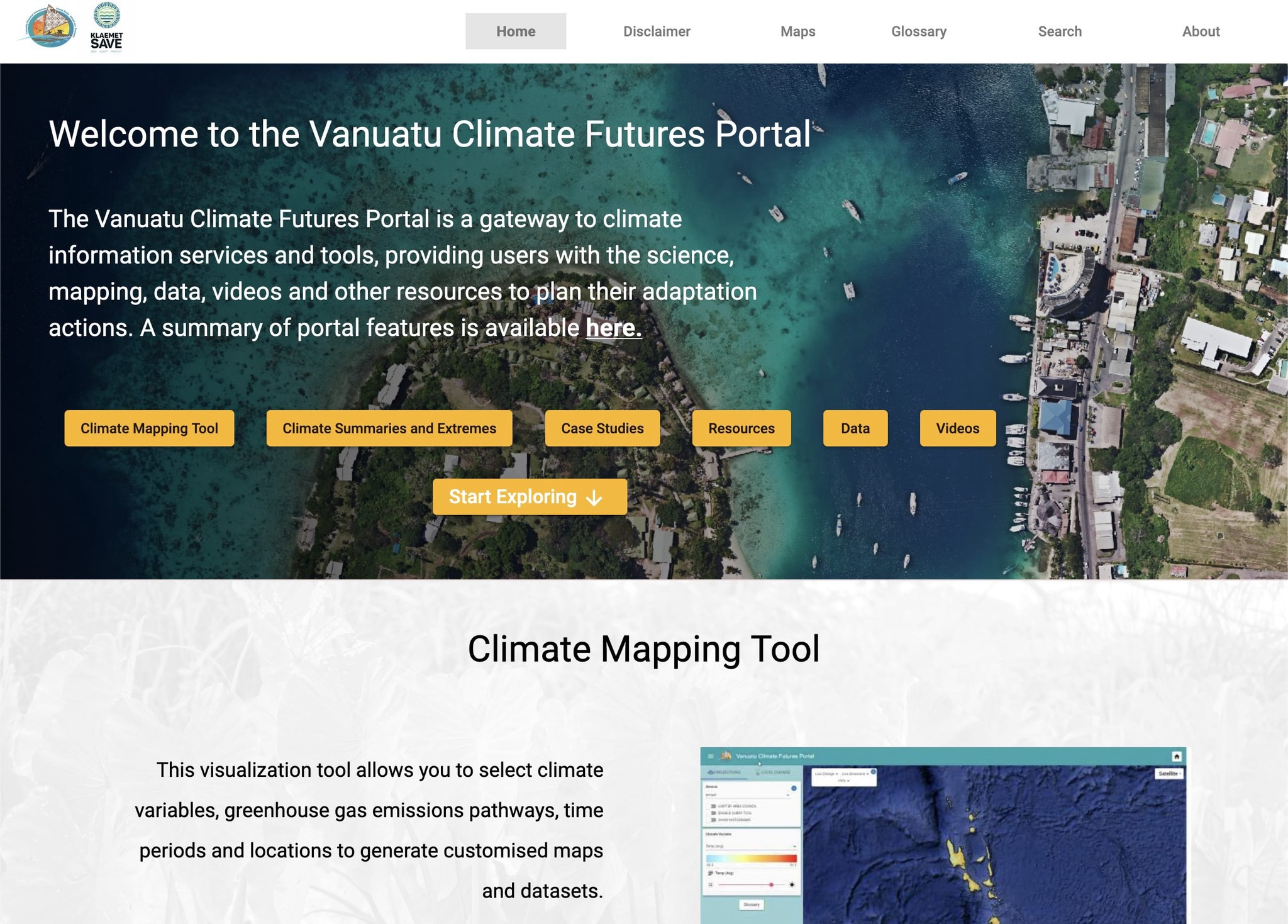
[row][col lg_col="12" md_col="11" sm_col="12"][button class="main_button large_btn bottom_space color2" link="https://www.vanclimatefutures.gov.vu/" target="_blank"]1.Vanuatu Climate Futures Portal[/button][/col][/row]
The Vanuatu Climate Futures Portal can be accessed: https://www.vanclimatefutures.gov.vu/
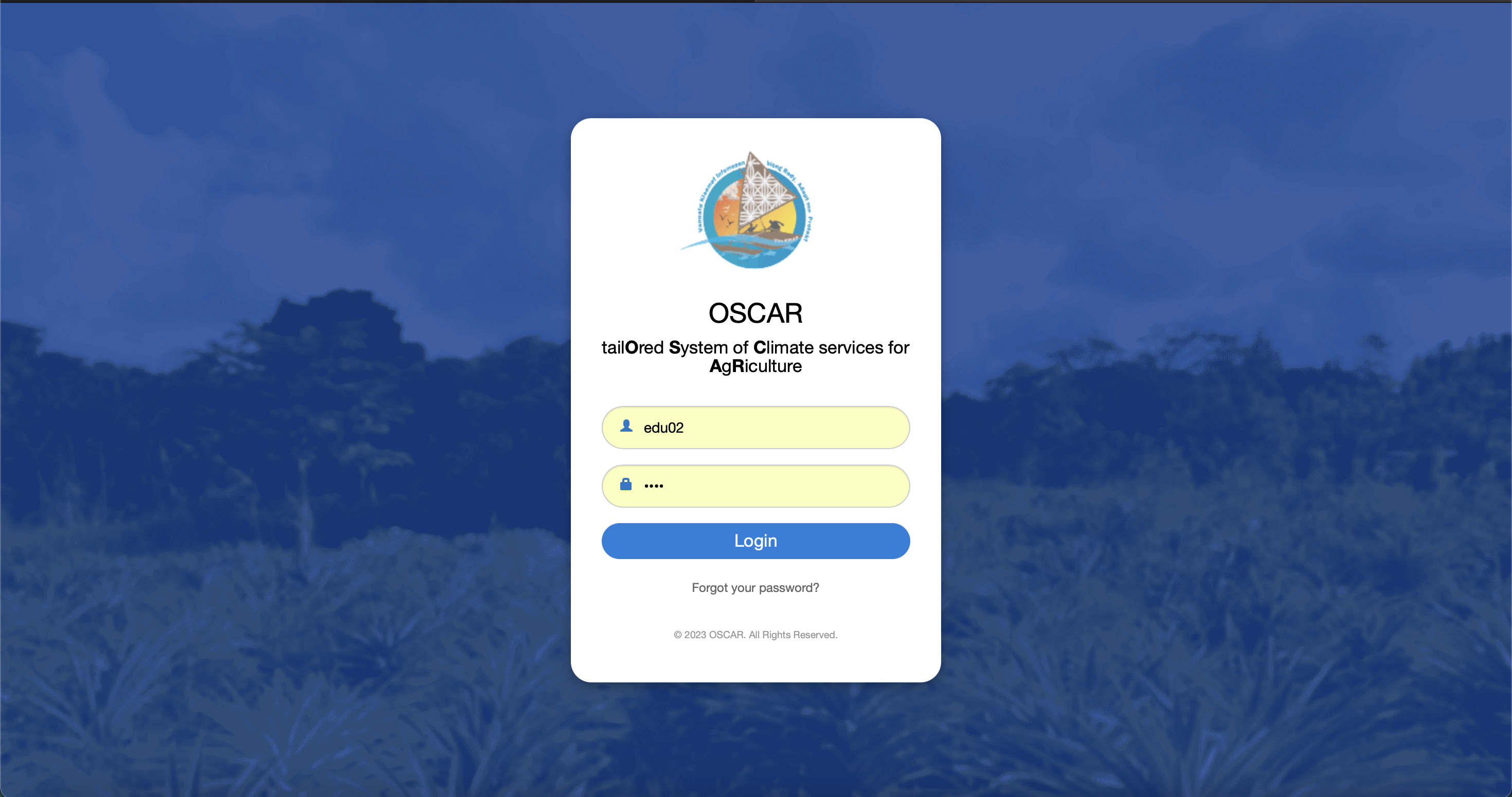
[row][col lg_col="12" md_col="11" sm_col="12"][button class="main_button large_btn bottom_space color2" link="https://oscar.gov.vu/login.do/" target="_blank”]2.Tailored System of Climate Services for Agriculture - OSCAR[/button][/col][/row]
[row][col lg_col="12" md_col="11" sm_col="12"][button class="main_button large_btn bottom_space color2" link="https://www.vmgd.gov.vu/vmgd/index.php/climate/reports-and-summaries/maps/" target="_blank”] 3.Operational Climate Maps for Vanuatu[/button][/col][/row]
[row][col lg_col="12" md_col="11" sm_col="12"][button class="main_button large_btn bottom_space color2" link="https://public.eagle.io/public/dash/c591gs61b7nimkf/" target="_blank”] 4.Sarakata, Vanuatu Flood Early Warning Dashboard[/button][/col][/row]
Republic of Korea-Pacific Islands Climate Prediction Services Project (ROK-PI CliPS)
[row][col lg_col="12" md_col="11" sm_col="12"][button class="main_button large_btn bottom_space color1" link="http://clikp.sprep.org/" target="_blank"]1.CLIKP - Climate Prediction Software tool[/button][/col][/row]
CLIKP has been developed by the Republic of Korea-Pacific Islands Climate Prediction Services project and it is based on the established CLIK (CLimate Information toolKit) at APCC. CLIKP (or CLimate Information toolKit for the Pacific) is a regionally tailored online tool for Pacific National Meteorological Services.
CLIK-P is available at this URL: http://clikp.sprep.org/

[row][col lg_col="12" md_col="12" sm_col="12"][button class="main_button large_btn bottom_space color1" link="https://www.pacificmet.net/2020" target="_blank"]2. RoK-PI CliPS- Climate Forecasts[/button][/col][/row]
Monthly multi-model emsemble (MME) forecasts based on dynamical models in CLIKP are generated routinely by the Republic of Korea-Pacific Islands Climate Prediction Services Project to support the tailoring of national climate forecasts in each country.
[row][col lg_col="12" md_col="12" sm_col="12"][button class="main_button large_btn bottom_space color1" link="http://clikp.sprep.org/" target="_blank"]3.PICASO - Pacific Islands Climate Advanced Seasonal Outlook tool[/button][/col][/row]
PICASO (Pacific Island Countries Advanced Seasonal Outlook) is a PC-based seasonal prediction tool tailored for the Pacific Island countries jointly developed by APCC and SPREP. PICASO produces probabilistic forecast of the seasonal mean rainfall of the given weather stations by customizing the data from the APCC dynamical seasonal prediction multi-model ensemble. Through a series of capacity building activities, PICASO will be operated by NHMSs of Pacific Island countries together with SPREP, which operates the regional data and computation server (CLIK-P) for the PICASO.
PICASO software is available at this URL: http://clikp.sprep.org/