Virtual April Pacific Islands Climate Outlook Forum (PICOF-6)
Regional Climate Outlook Forums have been held annually in the Pacific since 2015, allowing face-to-face dialogue and learning between the providers and users of climate information. Pacific Islands Climate Outlook Forums (PICOF) are organized by the Pacific Meteorological Council’s (PMC) Pacific Islands Climate Services Panel (PICS Panel), its secretariat SPREP and the WMO and supported by various international and regional organisations.
A recent review of the PICOF found one PICOF a year insufficient for providing much needed information on the state of ENSO and climate/ocean outlooks. The PICOF outlook issued in late October for example covered November to January and November to April but not the six months prior to the next PICOF. As such, a second PICOF was recommended by the PICS Panel to be held in late April, coinciding with the beginning of the south west Pacific dry season. Due to limited resources (and COVID-19) a virtual Apr-PICOF was proposed for 2020.
Unlike the Oct-PICOF which includes representatives from a particular sector, the Apr-PICOF was restricted to NMHS and partner participation. The agenda (Annex 1) included a series of presentations on climate and ocean monitoring and prediction from a range of NMHS and seasonal prediction delivery partners. The Apr-PICOF, being the first PICOF to be run virtually, was a pilot as was organised around the following objectives:
a) To discuss the Climate of November 2019-April 2020 2019/20 TC season, and the Climate Outlook for the Pacific Islands for May-October 2020
b) To compare the various seasonal climate forecast guidance for the Pacific region
An April PICOF Regional Statement summarising climate and ocean conditions over the past months and seasonal outlook May-October 2020 was produced as an output of the Apr-PICOF.
Consensus Regional Statement
Summary Statement on the State of Climate from November 2019 to April 2020 and Climate Outlook for May to October 2020 for the Pacific Islands
Key Messages:
Outlooks for May to October 2020
- Neutral El Niño-Southern Oscillation state predicted to continue through mid-2020.
- Average to above average tropical cyclone activity favoured in the western north Pacific over 2020.
- Below average rainfall favoured for Nauru, below average to average rainfall for the Northern Mariana Islands, Niue and Pitcairn and average rainfall for American Samoa for May to July. There is little model agreement elsewhere for the next three to six months.
- Above average air temperatures favoured for most of the western Pacific Islands over the coming three months.
- Elevated ocean heat stress favoured over the next four months across a large portion of the western and central South Pacific. Noteworthy is projected heating north of Papua New Guinea (PNG) and the western Solomon Islands.
- Along the equator, sea levels are favoured to be above average in the west and below average in the east over the next six months. Higher than average sea levels are favoured for many islands in the tropical western Pacific.
Climate since November 2019
- El Niño-Southern Oscillation has been neutral since the last PICOF held in October 2019.
- Sea surface temperature has been on the warmer side of average along the equator in the central Pacific for most of the last six months. Warmest conditions around Nauru, Tuvalu and Kiribati.
- Coral Bleaching Alerts have been issued for the western equatorial Pacific in the last quarter of 2019. More recently alerts have been issued for the Tokelau and northern Cook Islands.
- Drier than average conditions experienced across the tropical north Pacific and from southern PNG southeast to the southern Cook Islands. Wetter than average conditions present in Kiribati, northern Tuvalu and the northern Cook Islands. Most of the western North Pacific currently experiencing abnormally dry to extreme drought conditions.
- Near average numbers of tropical cyclones (TCs) were predicted in the Southwest Pacific for the 2019-20 season. Eight TCs developed in the SW Pacific to-date east of the tip of Cape York, Australia. Four classified as severe.
- Sea level in late 2019 was higher than average across most of the tropical Pacific. In March, positive anomalies appeared around the Tokelau and northern Cook Islands. A significant king tide was experienced in Tuvalu in mid-March.
Further details are provided below.
Review of November 2019 to April 2020 climate:
The El Niño-Southern Oscillation (ENSO) and Indian Ocean Dipole (IOD) are currently neutral. Atmospheric and oceanic indicators of ENSO, including the Southern Oscillation Index (SOI), equatorial trade winds, cloudiness near the Dateline, and sea surface and sub-surface temperatures in the tropical Pacific Ocean remain consistent with a neutral ENSO state. The ENSO state has been neutral since the last PICOF held in October 2019. The IOD was in a positive phase until the middle of December. ENSO is natural cycle in the climate system and a major feature of year-to-year climate and ocean variability in the Pacific. The IOD is a pattern of year-to-year variability in the tropical Indian Ocean basin that involves ocean-atmosphere interactions in the east-west direction. A positive IOD is associated with droughts in Southeast Asia and may impact PNG. It also affects the Indian and Australian monsoons.
Despite the ENSO-neutral conditions, above average sea surface temperatures (SSTs) were observed across most of the tropical Pacific Ocean during March. Equatorial subsurface (below surface) temperatures (averaged across 180°-100°W) remained above average overall, but the anomalies decreased during the month due to the expansion of below-average temperatures into the central Pacific at depth. Consequently, upper-oceanic heat content anomalies have decreased notably since late in 2019 and early in 2020. SSTs have been on the warmer side of average in the central equatorial Pacific for most of the last six months. Warmest conditions prevailed in the central equatorial regions; Nauru, Tuvalu and Kiribati. Associated with the warmer than average SSTs were Coral Bleaching Alerts for the western equatorial Pacific in the last quarter of 2019 and early 2020. More recently Coral Bleaching Alerts were issued for the Tokelau and northern Cook Islands.
Sea level in late 2019 was higher than average across most of the tropical Pacific with anomalies in excess of 15 cm across the central Pacific, just north of the equator. Since that time the positive anomalies have returned to near average. More recently in March positive anomalies in excess of 15 cm have appeared around the Tokelau and northern Cook Islands. These anomalies have extended further NW-SE in April. A significant king tide was experienced in Tuvalu in mid-March resulting in the inundation of low-lying and coastal areas. Swamps and barrow pits overflowed.
Western Pacific Islands rainfall displayed an El Niño-like pattern with drier than average conditions across the tropical north Pacific and from southern PNG southeast to the southern Cook Islands. This pattern was likely influenced by the marginally warmer than average SSTs in the central equatorial Pacific and the positive Indian Ocean Dipole event. The influence of the latter suppressed rainfall in the Coral Sea, New Caledonia and Vanuatu in the last three months of 2019 with Madden-Julian Oscillation activity associated with less rainfall than average for this time of year. Wetter than average conditions were present in Kiribati, northern Tuvalu and the northern Cook Islands. Rainfall in the more recent three months to March has displayed a similar pattern. Extremely low rainfall was recorded in northeastern Fiji and southern Vanuatu in November and across a large part of Fiji in February. For the latter, several stations recorded second driest February in more than 60 years. Conversely, extremely high rainfall was recorded in parts of Kiribati, Tuvalu and Samoa over December to February. The US Drought Monitor (14 April) analysis for the US Affiliated Pacific Islands (USAPI) indicates that most of the western North Pacific is currently experiencing Abnormally Dry to Extreme Drought (D0-D3) Conditions. Located in the South Pacific, subtropics, the Norfolk Islands have experienced serious rainfall deficiencies over the last four years. December to February rainfall (part of the dry season) was the lowest in 127 years. Norfolk Island rainfall observations show a declining trend in historical rainfall.
Near average numbers of TCs were expected in the Southwest Pacific in the 2019-20 season. Eight TCs have formed to date (east of the tip of Cape York, Australia). Four of these cyclones were classified as severe. Tropical Cyclone Harold in April 2020 was one of the strongest TCs to make landfall in the SW Pacific in recent decades, caused widespread damage in the Solomon Islands, Vanuatu, Fiji and Tonga. While activity has been consistent with the forecast in the eastern Southwest Pacific (east of 165°E), fewer than predicted cyclones (one to date) have formed in the greater Coral Sea region. The long-term average number of cyclones for the Southwest Pacific is nine (east of the tip of Cape York).
May to October 2020 Outlooks:
ENSO-neutral is the most likely scenario until at least the middle of 2020. Several models are favouring the development of a weak oceanic La Niña by the third quarter of 2020; however, the majority continue to favour ENSO-neutral. The predictive ability of the dynamical model guidance is currently lower than during a strong El Niño or La Niña event and ENSO predictions made during the Southern Hemisphere autumn tend to have lower accuracy than predictions made at other times of the year. This means that current ENSO forecasts beyond May should be used with some caution. Some models favour the IOD switching to a negative phase in the late Southern Hemisphere winter.
Warmer than average SSTs are favoured near and east of the Dateline in the equatorial Pacific, extending in a horseshoe pattern into the northern and southern Pacific around an area of near average to cooler than average SSTs in the central and eastern equatorial Pacific. By September, these cool anomalies are expected to strengthen and extend into the western equatorial Pacific. These SST patterns are likely to impact air temperatures patterns which are forecast to be above average for most of the western tropical Pacific over the coming three months. Associated with the below average SSTs, below average air temperatures are likely over August to October in the central to eastern equatorial Pacific.
Over the next four months of 2020, elevated levels of ocean heat stress are favoured across a relatively large portion of the western and central South Pacific. Particularly noteworthy is projected heating in waters north of PNG, which means that coral mortality in this area is likely.
Over the next six months, some dynamical models, including CFSv2 and POAMA, continue to favour the development of a 'La Niña-like sea level pattern' in the equatorial Pacific (above-average in the west and below-average in the east). There is likelihood of higher than average sea level for many islands in the tropical western Pacific, including southern Micronesia, PNG, Solomon Islands and Tuvalu. In the Northern and Southern Hemisphere outside of the equatorial region, both models are forecasting sea levels closer to average.
Tropical cyclone activity in the western North Pacific occurs year around. Although the year started off quietly, through June conditions are expected to be average to above-average (i.e., 3 or possibly 4 storms). NOAA's 2020 eastern North Pacific and central North Pacific Hurricane Season outlooks will be released on May 20 and May 21, respectively. The chances of a tropical cyclone occurring in the remainder of April and in May and June are very low. Cyclones in May and June tend to occur during El Niño. The 2020/21 Southwest Pacific tropical cyclone outlooks will be issued in October 2020.
In the western tropical north Pacific, the wettest months of year are generally between May and October. The reverse applies for most islands in the tropical Southwest Pacific. With reference to rainfall outlooks, there is general agreement on below average rainfall for Nauru, below average to average rainfall for the Northern Mariana Islands, Niue and Pitcairn and average rainfall for American Samoa. For the remaining islands there is little agreement between the models over the coming three to six months. Varying outlooks are common during a neutral ENSO period over the May to October period when model accuracy is lower. Individual model outlooks can be obtained from the respective modelling centres and from your National Meteorology and Hydrological Service (NMHS). For more country-specific information please contact your NMHS.
Recommendations from PICOF-6 virtual session (April 2020):
Regional Climate Forums such as the PICOF are important mechanisms for sharing information, best practices, and lessons learnt on climate prediction and its likely implications on the most pertinent socio-economic sectors. This should continue and be linked to the functions of the Pacific Islands Regional Climate Centre Network (PI-RCC Network, https://www.pacificmet.net/rcc).
Close working relationships between Pacific NMHSs are critical to effective warning of climate hazards leading to early preparedness. All countries throughout the region should continue to strengthen these relationships, as well as with other sectors through such mechanisms as one-on-one discussions, cluster group meetings, and national climate outlook forums.
In addition to the production of national seasonal climate outlooks which are well communicated to sectors, there is a need for simplified products and messaging especially for rural and remote communities. Sectoral impacts are most often related to drier or wetter than average conditions. NMHSs should continue to develop climate products tailored for national sectors, relevant to their needs, and incorporating where possible traditional knowledge elements.
Climate and Tropical Cyclone outlooks for the whole Pacific region should continue to be well communicated to all NMHSs in the region prior to general release, to ensure consistent responses are provided to local media enquiries.
Further Information:
The PICS Panel has been coordinating the Pacific Islands Climate Outlook Forum (PICOF) since 2015 in collaboration with SPREP, WMO with the support of other international and regional partners. PICOF is a platform to discuss the seasonal outlook (cyclone, precipitation, temperature and oceanic conditions) and state of ENSO, capacity build and enable knowledge exchange between National Meteorological and Hydrological Services (NMHSs) and strengthen relationships between NMHSs and stakeholders. PICOF occurs twice a year, a physical session in October focusing on November to April season and a virtual session in April to produce a seasonal outlook for May to October season.
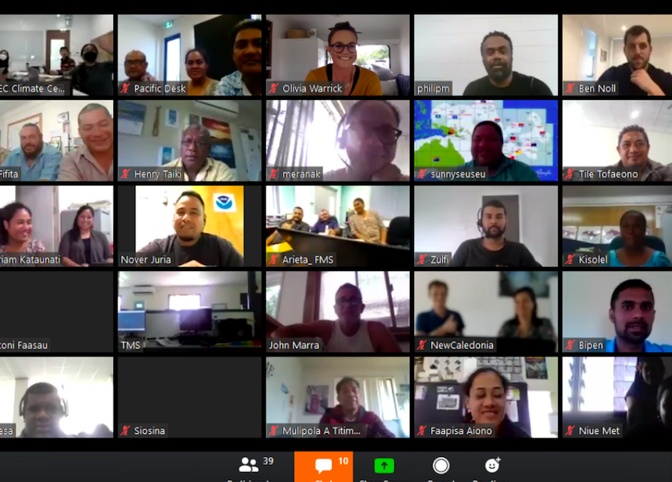
This statement is produced during the Sixth virtual session of Pacific Islands Climate Outlook Forum (PICOF-6) held on 21 April 2020. The forum had a specific focus on the overview of regional climate of November 2019 to April 2020, May to October 2020 rainfall and temperature outlooks and January to December 2020 northern hemisphere tropical cyclone outlook.
PICOF-6 was attended by members from Australia, Fiji, Kiribati, Marshall Islands, New Caledonia, New Zealand, Niue, Papua New Guinea, Samoa, Solomon Islands, South Korea, Tonga, Tuvalu, United States of America, and Vanuatu. Pacific Regional Environment Programme (SPREP), World Meteorological Organisation (WMO), Pacific Community (SPC), International Federation of Red Cross and Red Crescent Societies (IFRC), Australian Bureau of Meteorology (BoM), United States National Oceanic and Atmospheric Administration (NOAA), Météo-France and New Zealand National Institute of Water and Atmospheric Research (NIWA), Fiji Meteorological Service and Asia-Pacific Economic Corporation (APEC) Climate Center (APCC) provided technical support.
This statement is consistent with the Nuku'alofa Ministerial Declaration for Sustainable Weather and Climate Services for the Resilient Pacific, which recognises the importance of Meteorological and Hydrological Services in support of relevant national needs, including protection of life and property, sustainable development and safeguarding the environment. The same noted that weather and climate services are not an option but are a responsibility and a basic human right.
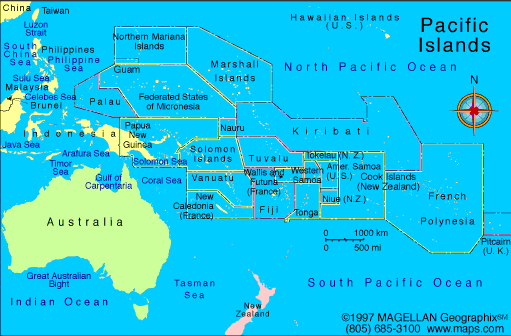
Map of the Pacific Islands region including those countries and territories involved in PICOF-6.